Wissahickon Valley Park
Outside of the Office
My girlfriend and I were able to spend quite the lovely day hiking around the Wissahickon Valley Park trail systems. We started near the Bells Mills Rd parking area, and traversed the Yellow trail south, eventually connecting with Forbidden Drive near Valley Green Road. We crossed the bridge and took the Orange trail back until we hit Rex Ave, at which point we decided that we were no longer up to scaling rougher territory. We crossed the bridge and headed back over to Forbidden Drive to take the flat walk back.
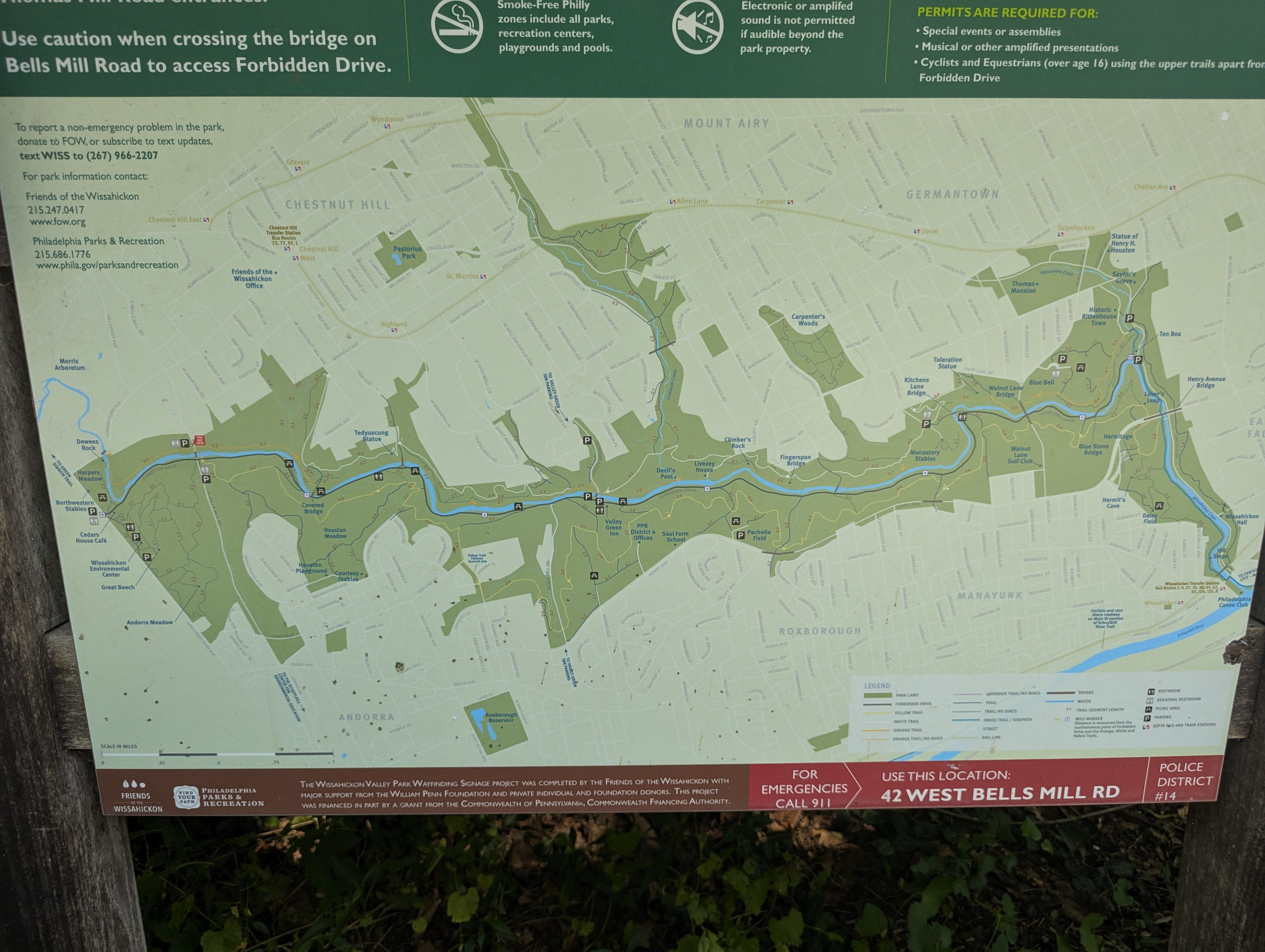
Being someone who both exercises far less than one should, as well as getting to the age where one starts to actually be cognizant of their age, it was a nice reminder that the colors assigned to the trails are not entirely arbitrary. Thankfully staying hydrated and taking some time to rest the following day improved my recovery time substantially. All told, we covered between 7 and 8 miles of trail, with lots of minor elevation changes, and much of it with uneven rocky ground. Carrying way to much stuff in a pack also played a factor, but honestly, it was worth it to have some ice cold water and more trail mix than one should eat in a week. Also, baby wipes. Keep baby wipes in your outdoor bag.
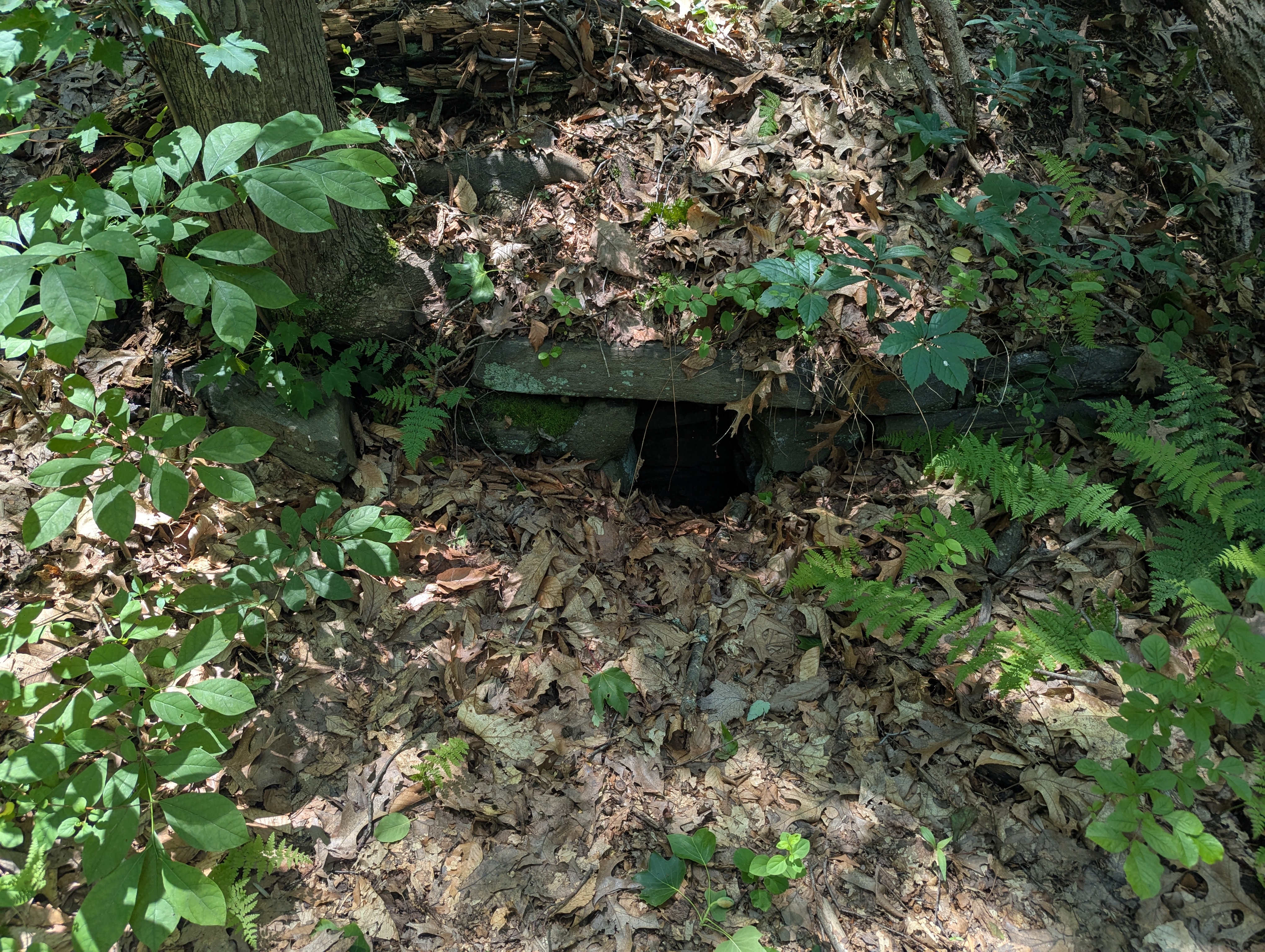
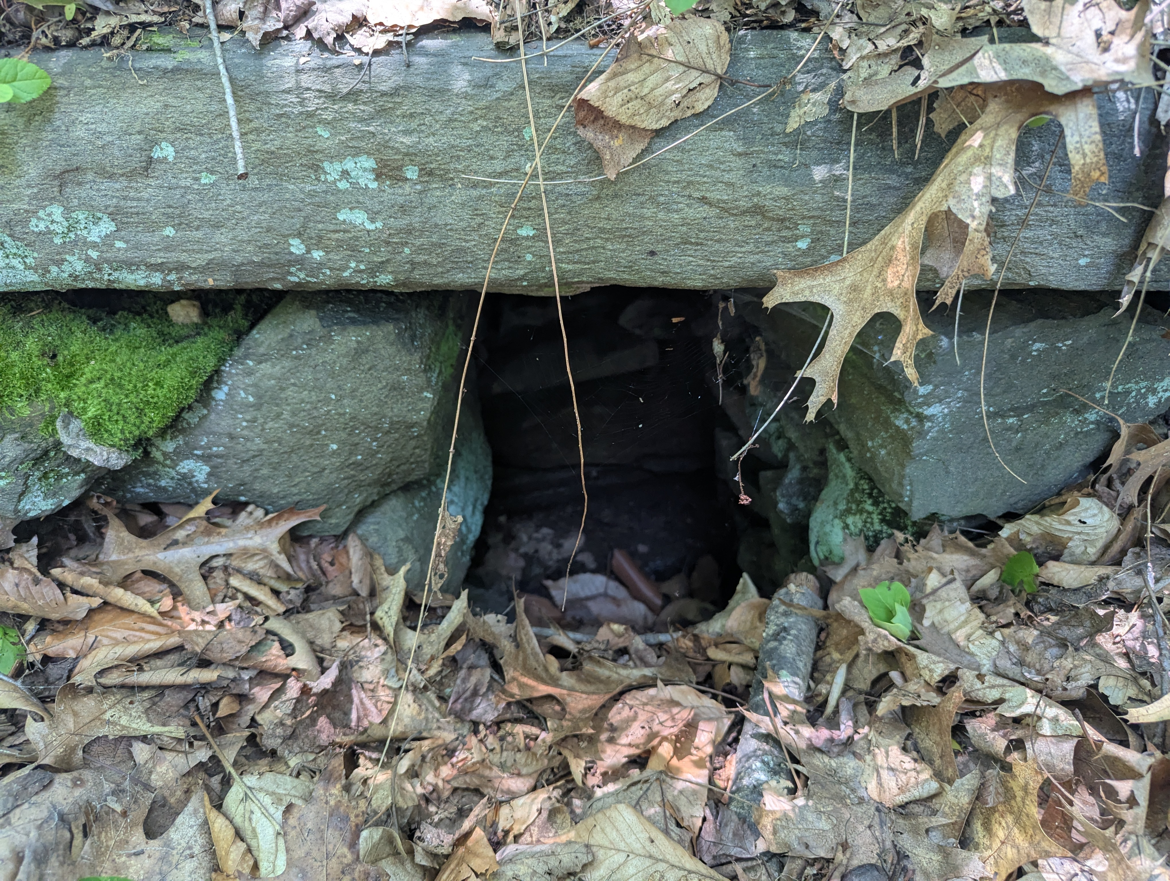
Along the first portion of the yellow trail, I noticed a number of structures that were made of stone, and made a little cutout off to the side of the trail. My girlfriend correctly guessed that they were some sort of drainage system, and I was able to confirm via an email to Friends of the Wissahickon. Shout-out to Claire for answering me back for something that seems fairly obvious in retrospect.
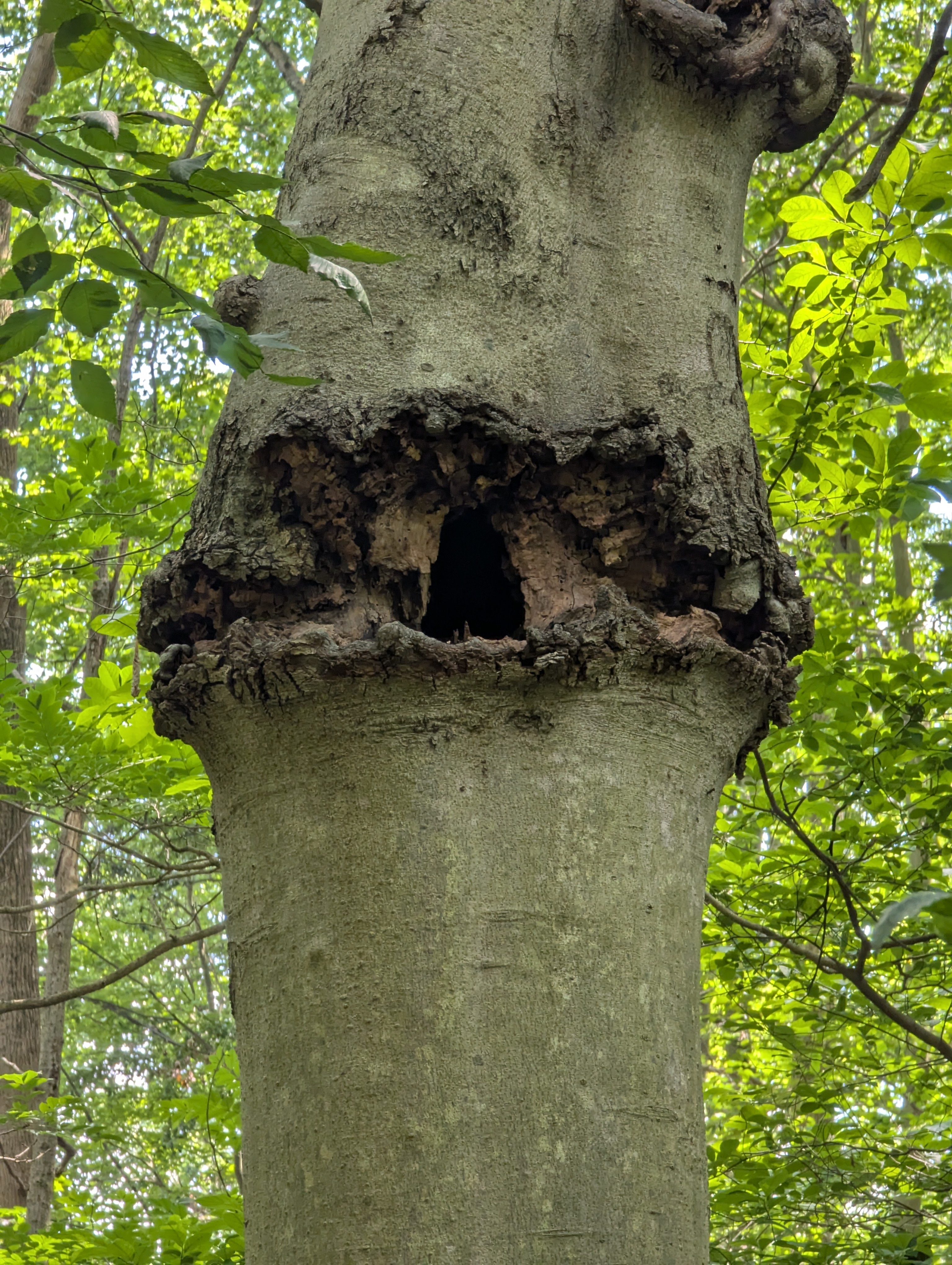
For those that are fans of Lord of the Rings, we did encounter a tree that bore a striking resemblance ot the Eye of Sauron. We were fortunate to avoid any encounters with Orcs along the way, as my Mithril blade and armor were not on my person during this hike.
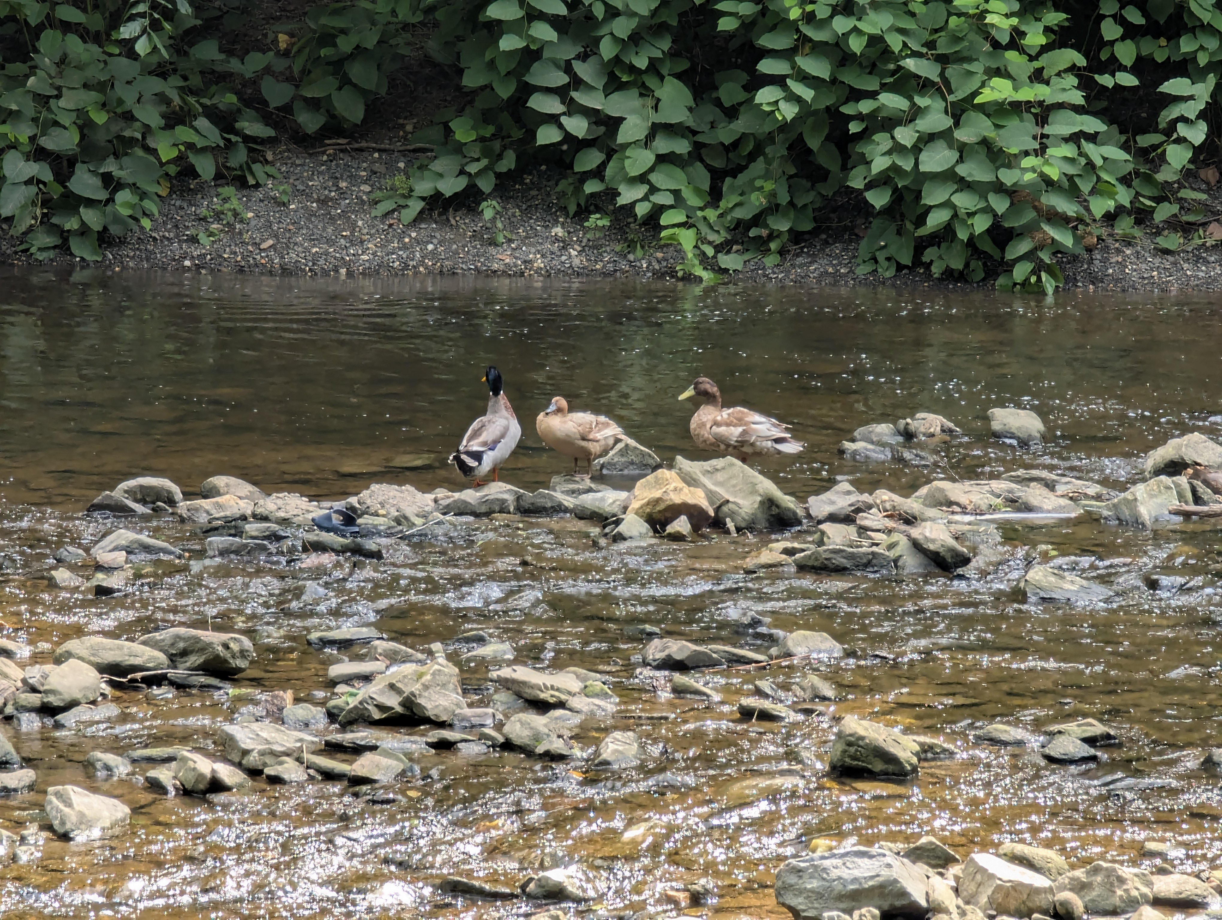
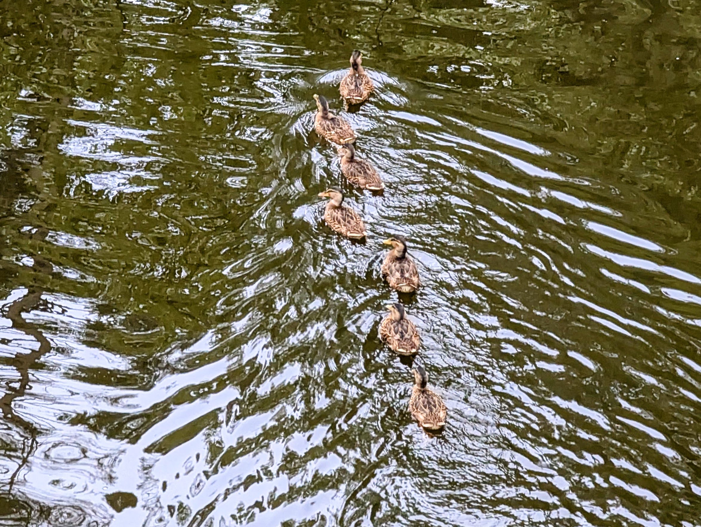
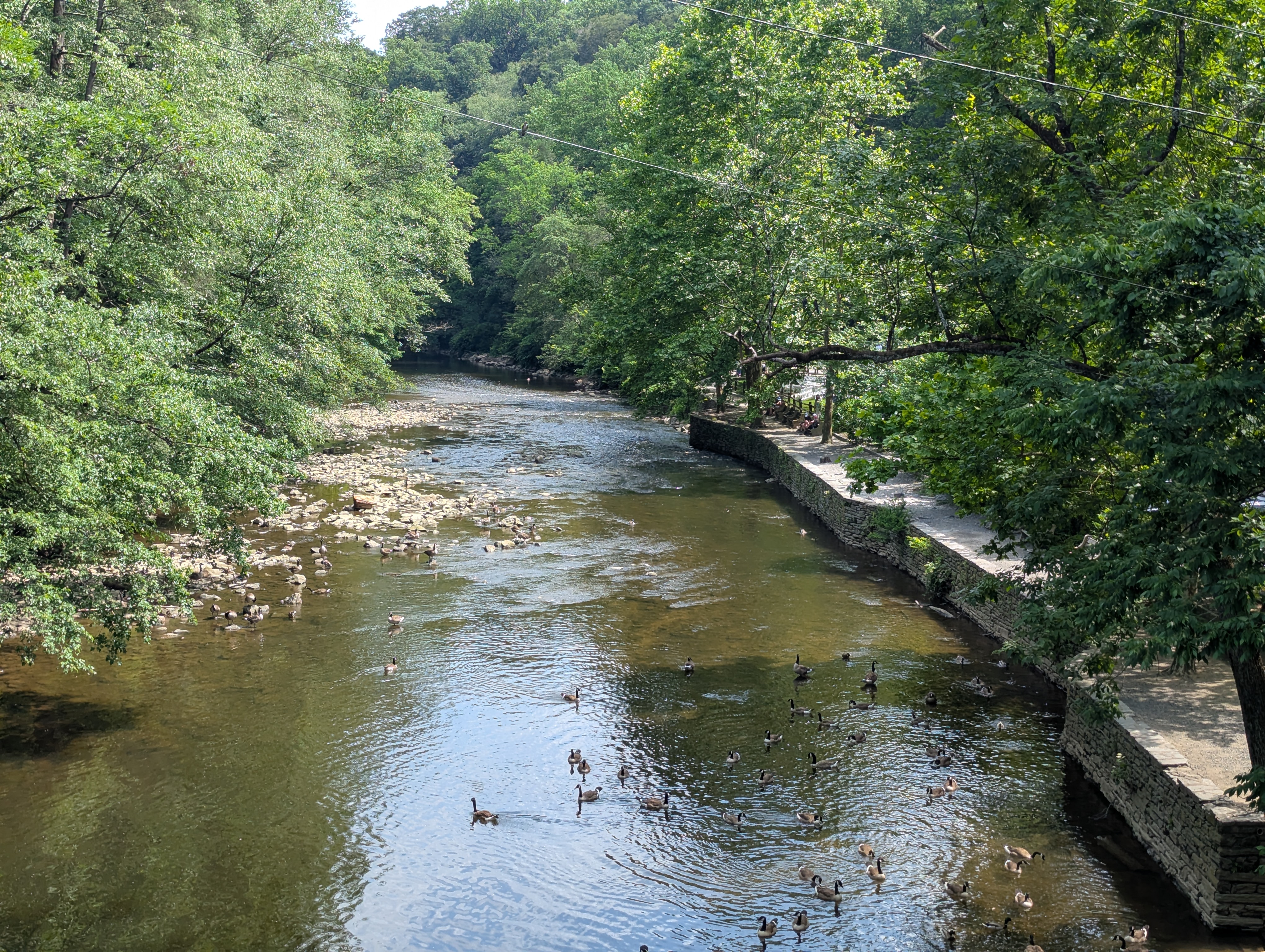
Before crossing over to the other side of the creek to begin our journey back, I had to take a few pics of the local ducks and geese. I'm a big fan of waterfowl and could not resist telling my other half how to identify different species and whether they were a drake or a hen. A number of Mallards and Canada Geese were present, along with some domestic/hybrids. The latter were easy to point out due to their off size and coloring. I was quite thrilled to see a mama duck swimming with her young. They looked to be close to the age to branch off on their own, as they were far from chicks at this point.
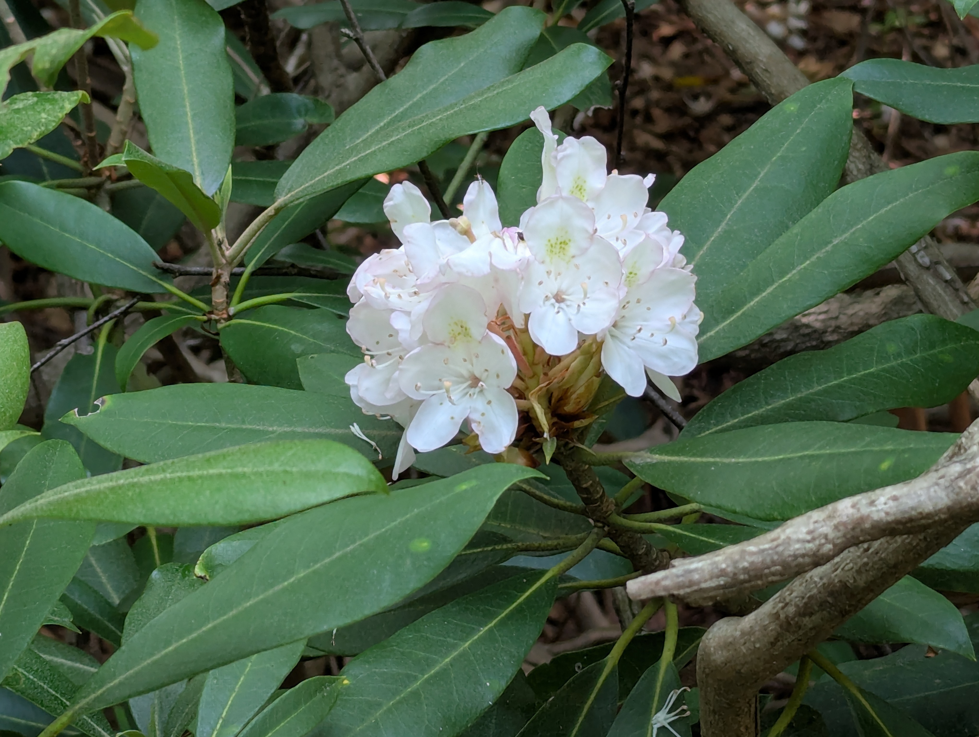
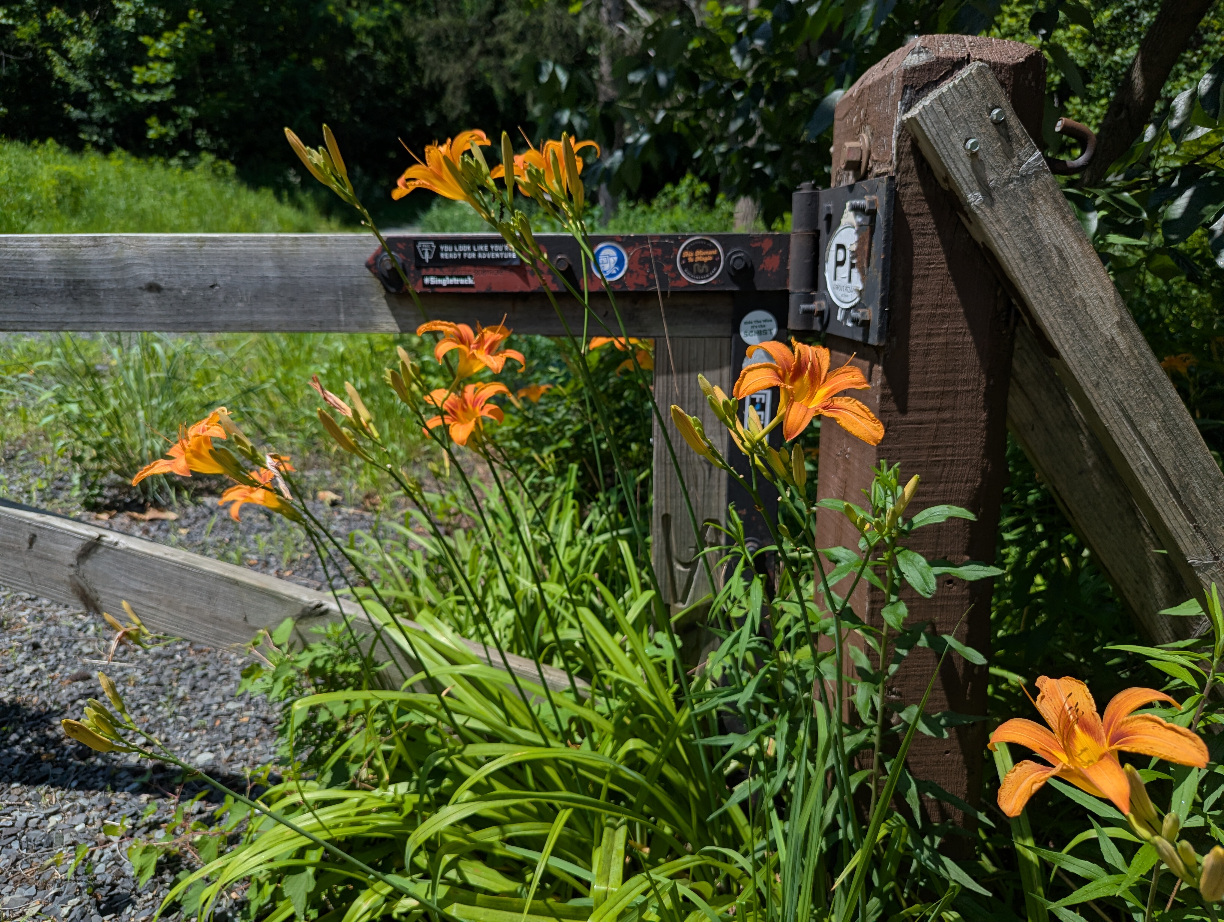
I am much less adept at identifying plant species, but I did snap a few pictures of flowers that I thought were pretty, just to show them to my daughter, because she absolutely adores flowers. Google lens tells me that the blossoms in the left photo are from a rhododendron, and the right photo are orange day lillies.
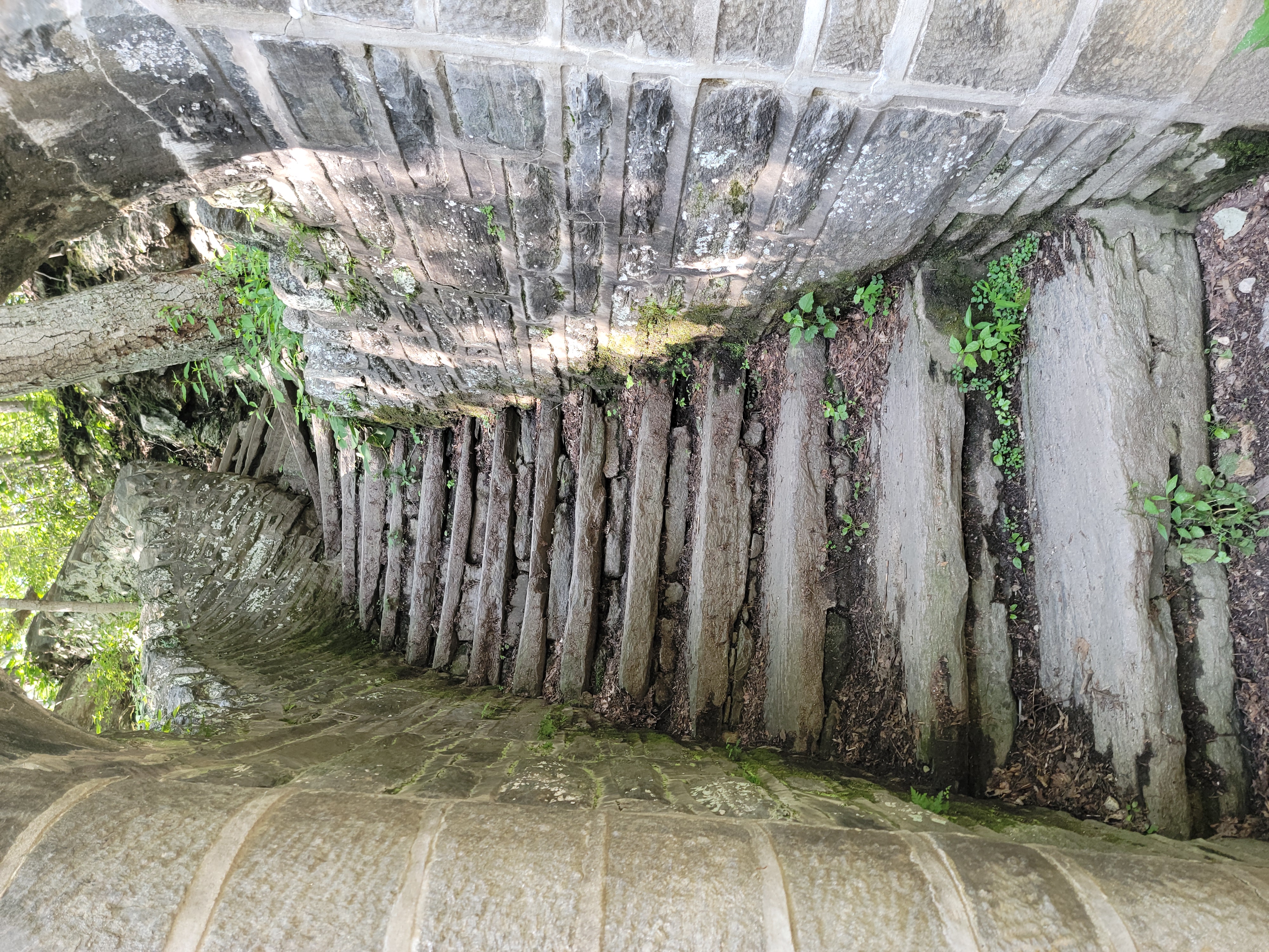
As we headed back along the Orange trail, there was a good bit more climbing and traversing tricky terrain. At one point we had to scale a bit a of rock face that was slippery. While we made it up, it would have been easier for partner if she had longer legs. Not to worry, I gave her the Predator-handshake grip to help pull her up to the top. Once we got the bridge at Rex Ave, we were greeted with a large set of stone steps that I really wish I had the energy to climb at that point. They lead up to a historically inaccurate statue of Lenape leader Teedyuscung, who is shown in a head-dress, but did not actually wear one. Pictured below are the stairs that I was far too tired to climb.
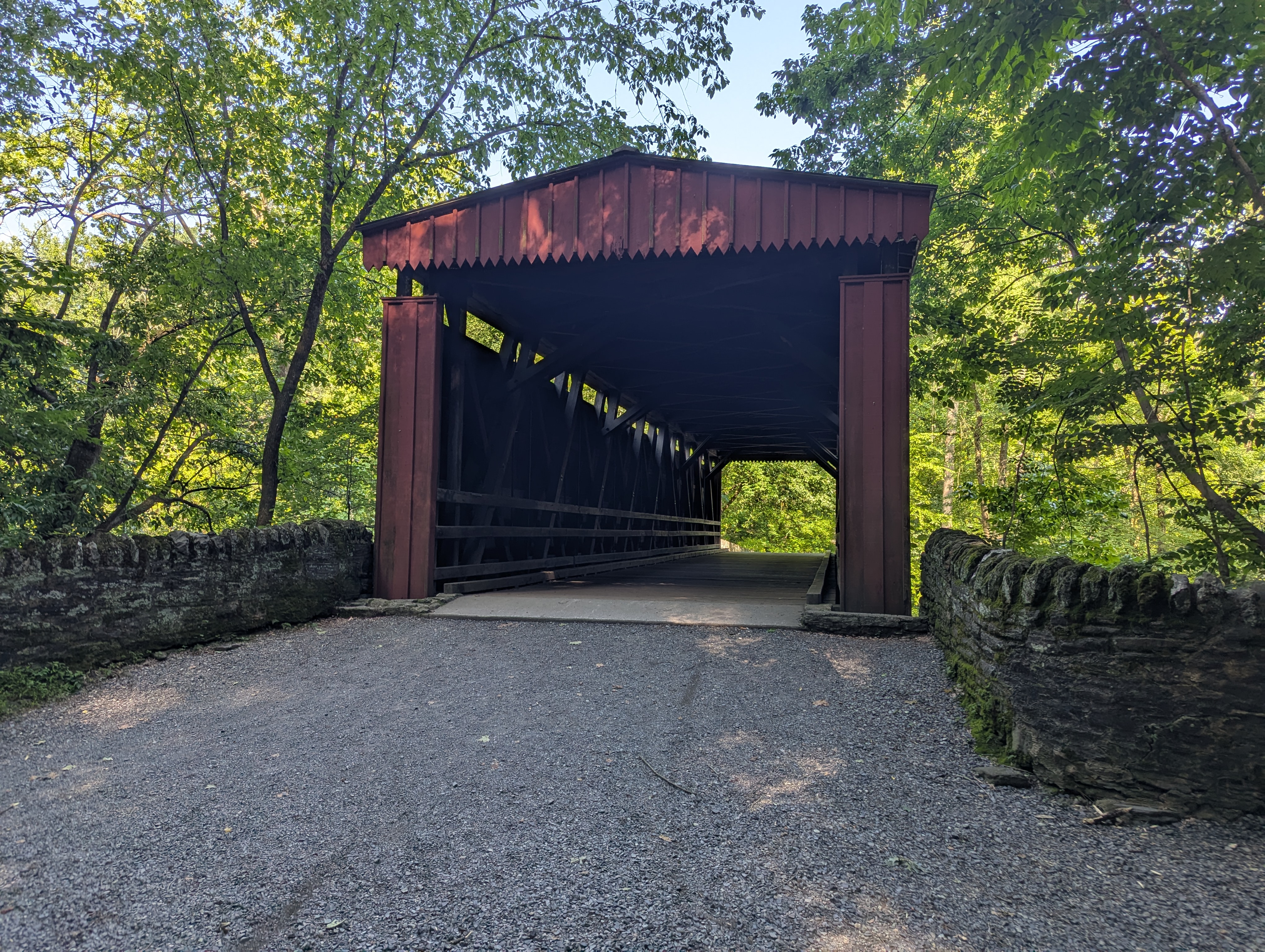
At this point, we stopped for a rest and well earned snack before heading back to the parking area. A flat, but still decently long hike remained along Forbidden Drive. It is aptly named as such due to being one of the first roadways to outlaw cars to allow pedestrian-only traffic. We did pass a lovely covered bridge on the way back. While I am no Ansel Adams, I most certainly had snap a photo of it. Note: I'm aware that I may be confusing my photographers, but I am leaving it as is.
I look forward to returning to the Wissahickon to explore more of what we didn't get to see on this trip. For instance, I would love to see the Hermit's Cave, where a young Johannes Kelpius formed one of America's earliest doomsday cults.
